GIS Data for Jubilee Park
Project overview
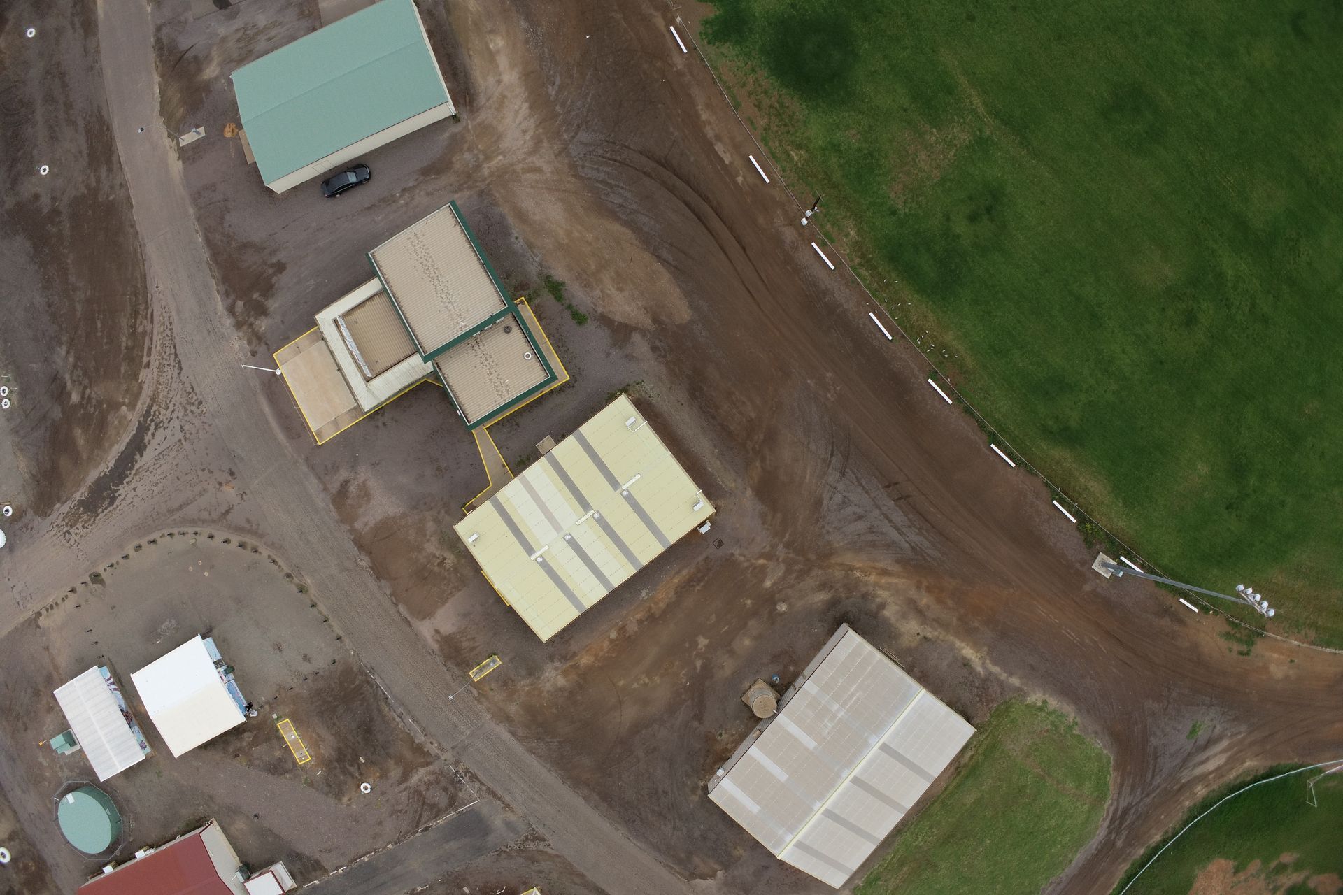
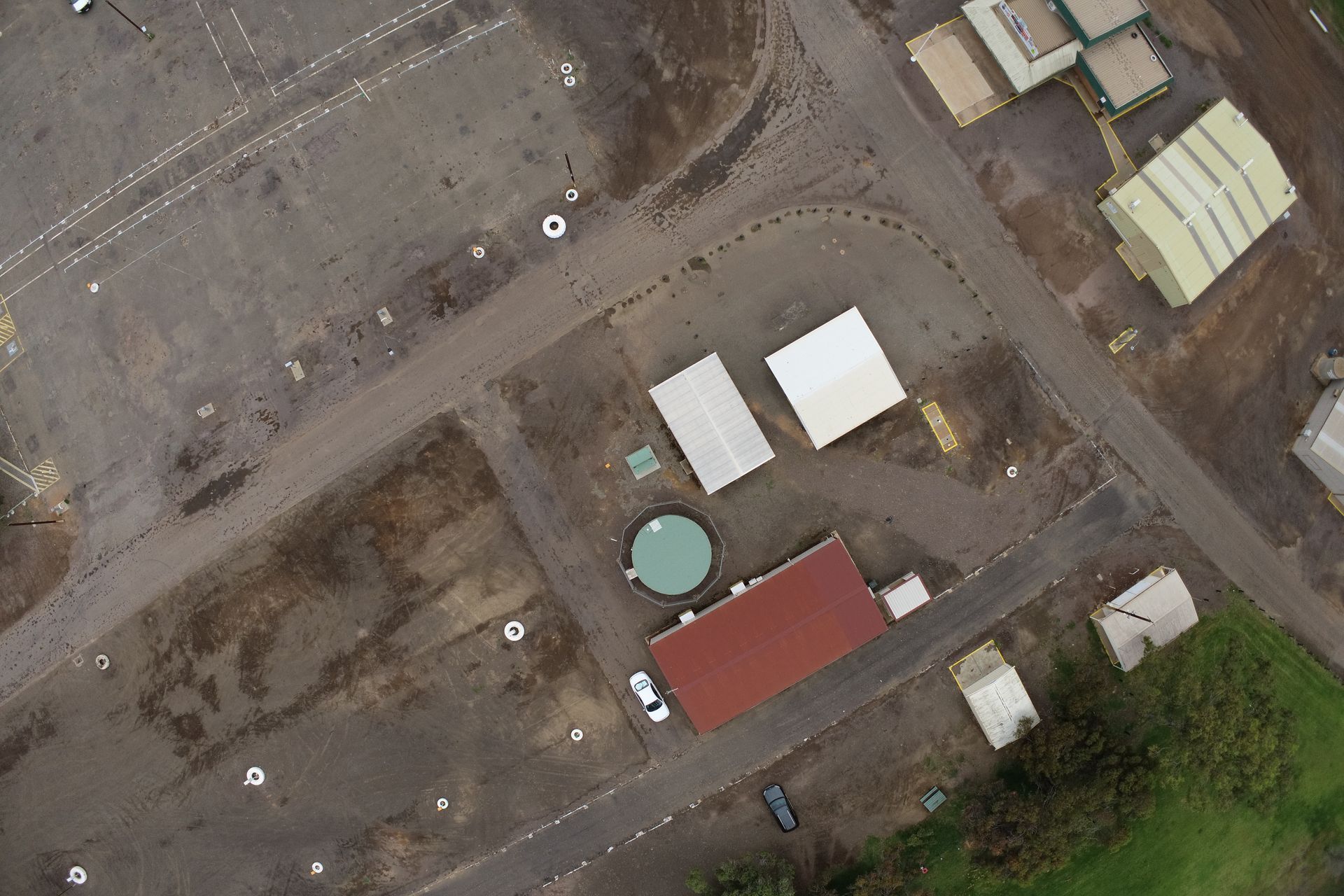
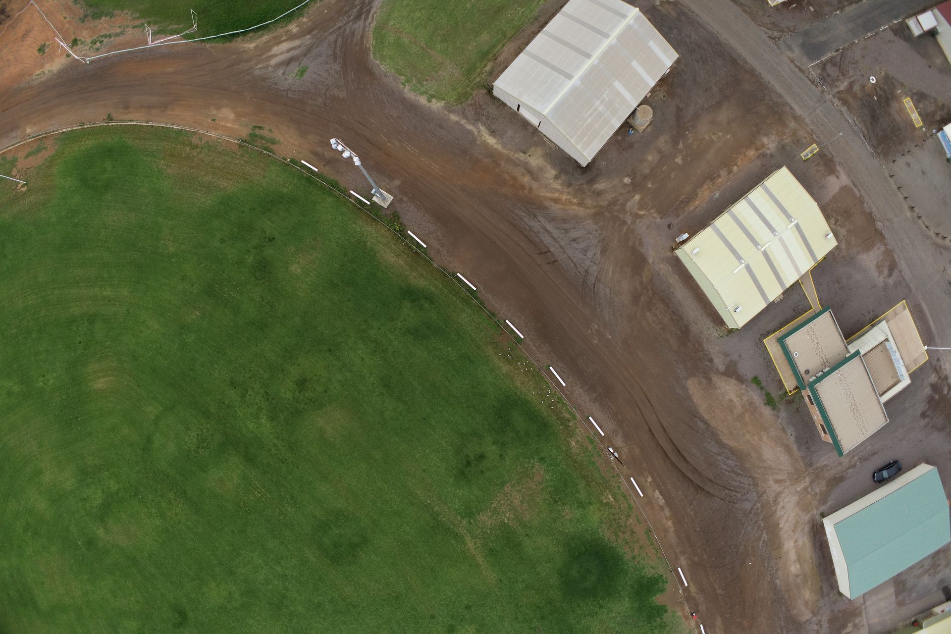
The GIS Data for Jubilee Park project aimed to gather accurate and up-to-date information pertaining to various elements within Jubilee Park in order to facilitate better planning and decision-making.
Our Advantage
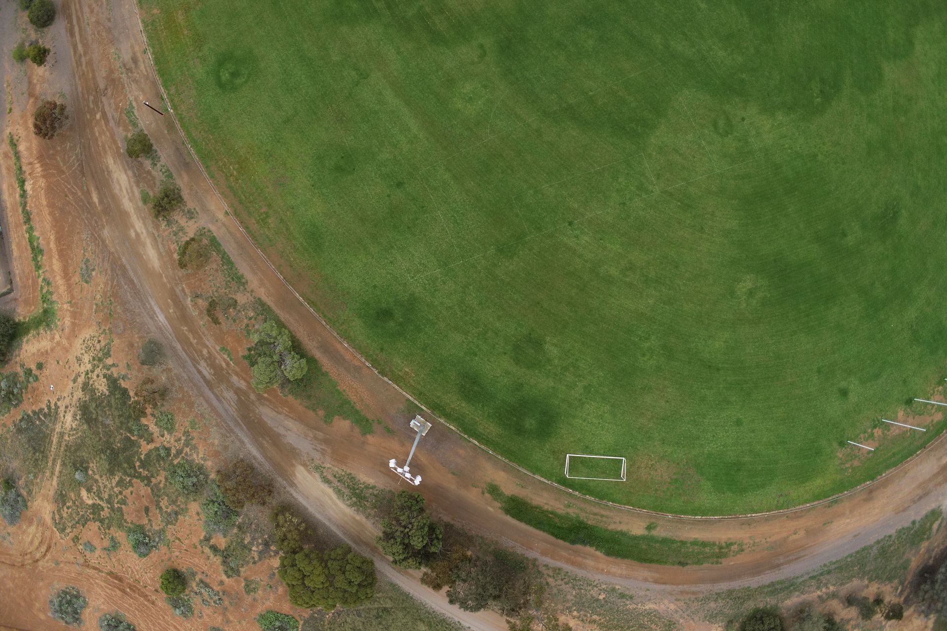
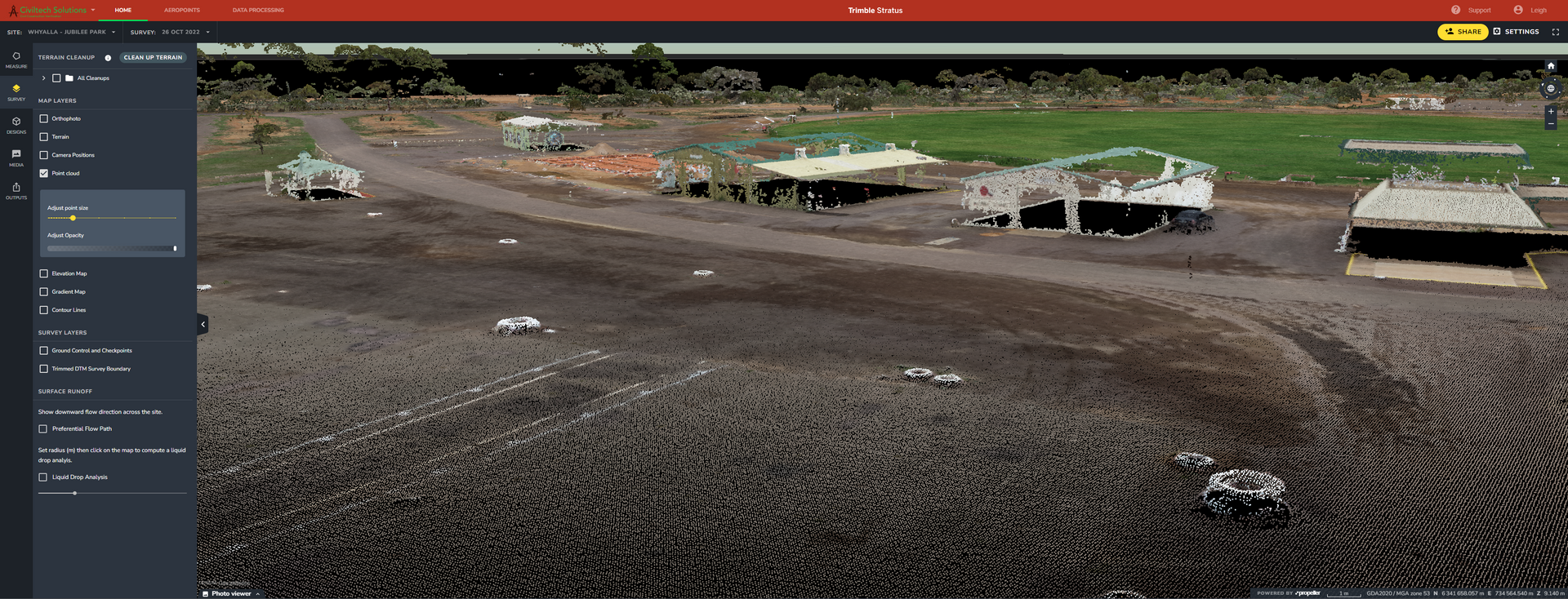
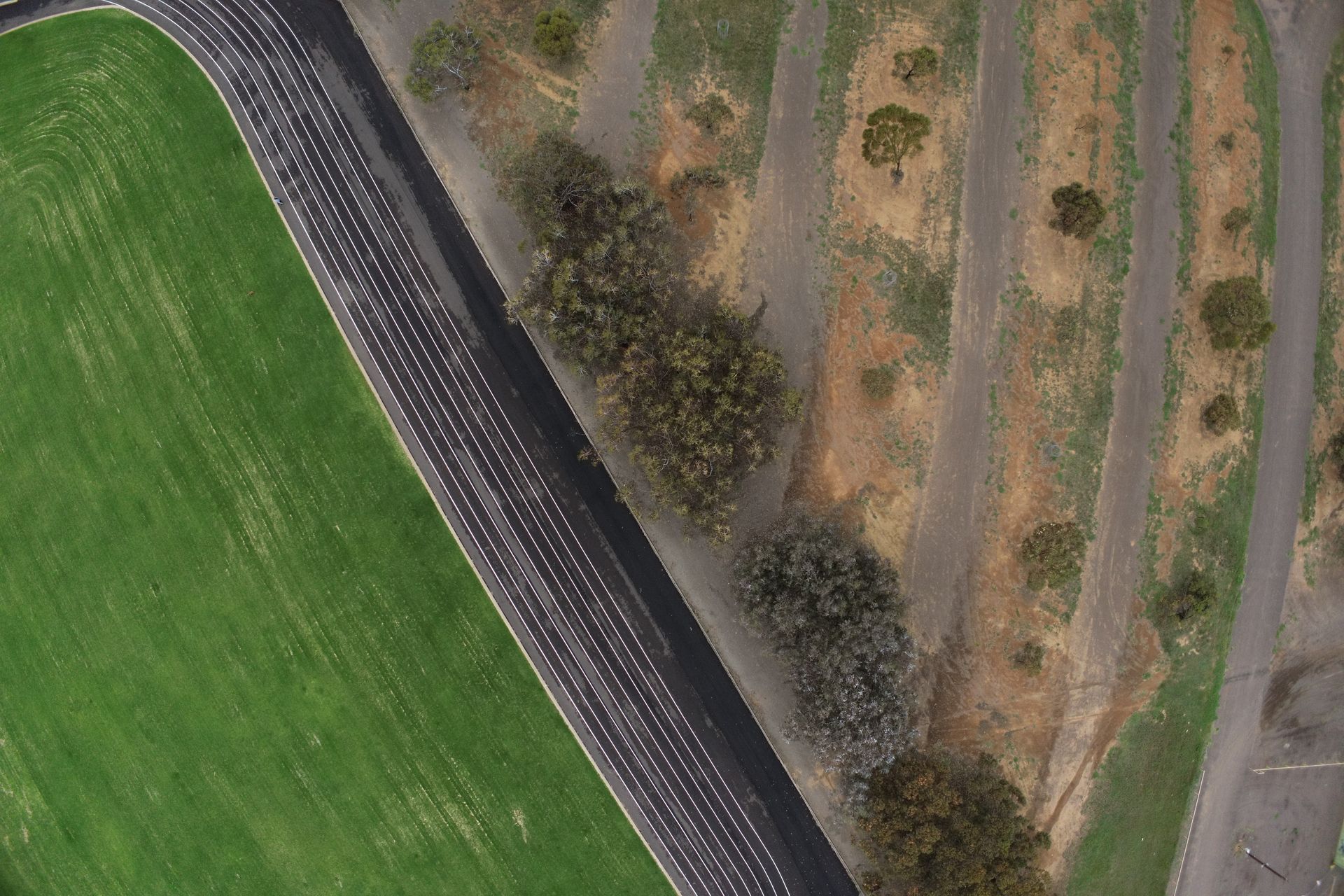
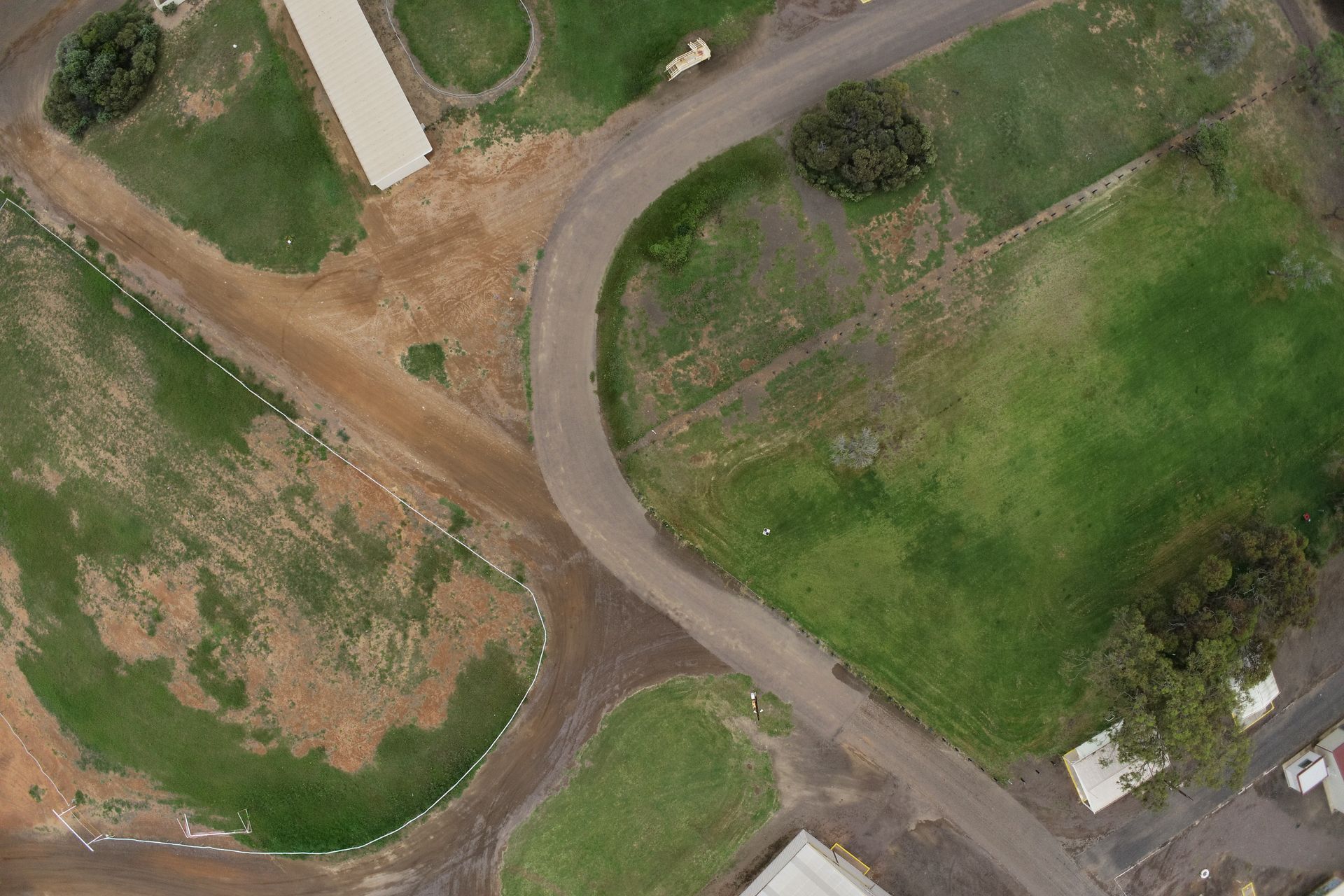
Civiltech Solutions' expertise in obtaining high resolution imagery and topography through the Propeller Aero platform provided a distinct advantage for this project. With their proven track record in this field, they were able to deliver high-quality results within the project timeline and budget.
Project Challenge
The main challenge faced during the project was the need for comprehensive and detailed GIS information for various elements within Jubilee Park, including buildings, structures, electrical outlets, hydrants, pavements, landscaping, and water services.
Our Solution
Civiltech Solutions provided a comprehensive solution that involved the use of RTK Drone flight and the Propeller Aero platform for imagery capture and modeling. This allowed for the acquisition of highly accurate and detailed GIS data that facilitated better decision-making and planning.
Project Outcome
The outcome of the project was highly successful, with Civiltech Solutions delivering accurate aerial imagery for the various elements within Jubilee Park. This allows for better decision-making and planning, enabling Jubilee Park to be utilized more effectively.
Rewards
The main challenge faced during the project was the need for comprehensive and detailed GIS information for various elements within Jubilee Park, including buildings, structures, electrical outlets, hydrants, pavements, landscaping, and water services.
Location:
Whyalla, SA
Client:
City of Whyalla
Role:
Drone Services
Date:
October 2022